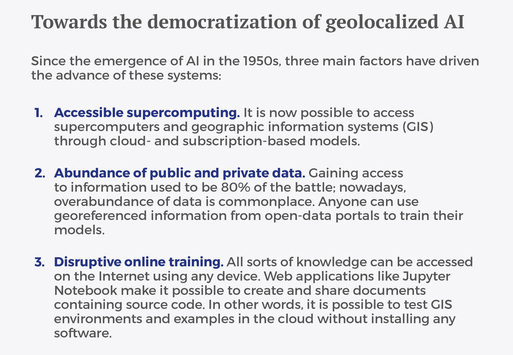
Big data is revolutionizing the management of large volumes of information, giving rise to new solutions capable of self-teaching without help from human beings. Google’s AlphaGo, for example, shows that machines are capable of achieving superhuman capacities without human intervention. In other words, human knowledge is no longer essential.
In light of these disruptions—and those yet to come—we must redesign our education systems to create unprecedented professional profiles. The private sector is fully aware of what this shift means for the business world. Institutions, too, are preparing themselves for the arrival of mind-boggling changes.
On the political front, the United Arab Emirates—a leader in data technologies and the site of some of Esri’s most important projects and agreements—has announced the appointment of its first Minister of Artificial Intelligence, who will be responsible for applying AI tools in all government-managed services.
The United States has also embraced the potential of AI across all sectors, developing a strategic plan for this purpose. Meanwhile, Europe is developing regulations on the ethical treatment of robots.
A new executive post called ‘chief artificial intelligence officer’ has been created to oversee AI solutions and to address complex problems for which little information is available.
New profiles on the horizon
As these new technologies proliferate, private-sector organizations have begun to incorporate a new profile into their ranks. A new executive post called chief artificial intelligence officer has been created to oversee AI solutions and to address complex problems for which little information is available. The CAIO must have scientific skills—mainly in cognitive processes, prediction, simulation, etc.—plus a vision of engineering for the application of symbolic, connectionist, and hybrid paradigms.
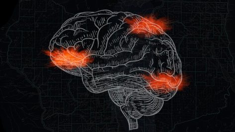
Advances in neuroscience have led to the development of new computer-based techniques that provide a better approach to these problems. The appearance of such tools is one of the key characteristics of the current cycle of AI, which has been with us since the mid-1950s.
Experts in these disciplines are now needed in the business world—and indeed, in all professions. The police in Vancouver, Canada, for example, are using machine learning and geospatial solutions provided by Esri to improve their understanding of crime rates. These data have allowed criminal situations to be predicted with 80% accuracy, bringing about a 27% reduction in crime in the studied areas.
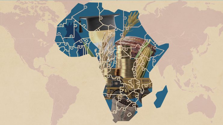
Codified cities: geospatial data fertilize smart territory
Another new profile—the data scientist—is poised to become highly useful for local governments worldwide. Data scientists are a perfect fit for smart cities, since their job is to solve problems in various disciplines by analyzing data. One real-life example was an outbreak of legionnaires’ disease in New York City. A building-by-building analysis made it possible to focus on key areas, optimize resource allocation, and find solutions. The efficiency of the operation also led to significant cost savings. This is just one example; data science and location analytics can be applied in a wide range of fields, including mobility, telecommunications, and many more.
Analyses based on geoprocessing involve the use of seemingly magical tools like the ‘spatial join’ operation, which enriches a model by appending information from different layers.
Solutions for infrastructure
In geographical contexts, AI and big data solutions always follow the same pattern. The first step is to import information from various sources. That dataset is then used to build a multi-layer model. Finally, training and comparison are carried out to establish a solution.
Analyses based on geoprocessing involve the use of seemingly magical tools like the “spatial join” operation, which enriches a model by appending information from different layers.
This process can be applied, for example, to infrastructure safety. By crossing and correlating data—human, natural, and climatic factors, type of road, etc.—it is possible to create a map that minimizes the risk of accidents at a particular spot and improves our understanding of the environment. Such a map can be used to predict accidents and optimize resource management, for example by dispatching ambulances to the most dangerous areas.
With big data helping to solve difficult problems, data scientists are gaining a higher profile. Given the nature of their activity—which will become increasingly crucial in the coming years—these in-demand professionals are commanding high salaries. The emergence of this new profession shows that big-data technologies yield a high return on investment. These highly disruptive tools are revolutionizing many industries through the real-time use of data and the optimization of action planning. The methodology is always the same: search for data, build models using “spatial join,” train various networks and models, and deploy the system. With methods and technological platforms like Esri’s, which can be applied throughout the value chain for geolocalized data—from capture and storage to analysis and display—is it possible to successfully tap into the opportunities offered by these new technologies.
© IE Insights.